"There is nothing more pleasant than cruising on a boat with the whole family."
Letter from Empress Catherine the Great

Wednesday, September 6, 2023

September 6 — Day 59 — Vineyard Haven to Cuddyhunk Hunk— 19 NM

 This was the first of the last few days of the cruise, the main idea is to get home. Another windless day but at least we timed it to avoid adverse tide. We made another batch of fresh water and tasted it. It was NOT salty.

We passed this interesting tow, a fishing boat, instead of a tug was pulling a barge with a crane.

This fishing boat took up a lot of room on the water with its booms out to the sides, though he was not pulling nets.

Once through Quick’s Hole, the easiest hole to get from Vinyard Sound back north into Buzzards Bay, there was a bit of wind and we sailed for about a mile and half under spinnaker on a broad reach. But we were making only 1.5 knots, and when this slowed to half a knot we gave up and motored the last couple of miles. We anchored in the same spot that we occupied on our last visit here with niece Yael a few years ago. I lowered the dink for a swim, but we did not go ashore. This is a very sleepy place, more so after Labor Day. 

September 5 — Day 58 — Hyannisport to Vineyard Haven — 19 NM

 Another windless day, though we put up the small jib, sheeted in overly tightly,  to give us a few extra tenths of a knot. We needed those tenths against the very strong three knot adverse tide off East Chop, Vineyard Haven, especially because in the light wind we towed, rather than raised the dinghy. 


One thing that impressed me the last few days and today, like never before, was the number, variety and frequency of ferries traversing the waters of Woods Hole, Hyannis, Vineyard Haven and other ports on Martha’s Vineyard and Nantucket.  It is almost like the waters of NYC — except that to M’s Vineyard and Nantucket there are no bridges, tunnels or other ways to get there (except by air or private boat). 

We ran east through Nantucket Sound in still water. There are long shoals running east-west in Nantucket Sound and Vineyard Sound. On the chart plotter, I “drew” a straight line from the exit from Hyannis to the entrance to Vineyard Haven but it crossed the shoals in shallow spots - less then ten feet or even six. So twice I put in a waypoint, off the direct line but near both that line and a deeper portion of the shoal. Reaching that waypoint we did a zig across the shoal in at least eleven feet of water and then a zag to the next such waypoint. The deeper spots for crossing are not marked by buoys, so without the chart plotter I would not have dared dead reckoning through such “gaps”. 

During the passage, with numerous emails back and forth between Lene and Bryan, of HeadSync, our plumber, we fixed (we hope) the water maker. Here is a  messages on its control panel after making water, suggesting it is fixed and will flush itself in five days.

We put five gallons of desalinated water into the port freshwater tank. The taste test will be during the repeat experiment tomorrow. If the water tastes good, the machine is fixed; if fixed, this will cut Newport RI from our itinerary on the way home and save big bucks because the mechanics want to work on ILENE when she is at a dock — which costs $360 per night.

In Vineyard Haven’s inverted “V” shaped harbor (analogous to the shape of Hempstead Harbor in ILENE’s home waters of Long Island Sound) we saw “Escape”. Well who could miss her 236 foot and 33 foot beam.

The helicopter on her huge foredeck was gone later in the day.


Our visit here was with Mark and Kyle, who moved here a few years ago. They brought lunch and we had a 2.5 hour day sail with them. Well “float” would be a more accurate description than sail, due to the very light wind. Last time we did this with them it was breezy and we went across Vineyard Sound and back, twice, but this time we maxed out briefly at 2.4 knots and mostly were making half a knot. And it was the hottest day of the cruise, so far, giving the impetus to a cooling dip in the sea; I never did a swim call before except with sails down.


After returning our friends to shore we wandered the shops of the village for a while. Lene got groceries but we decided to not eat in a restaurant, dinked back and had a late dinner aboard.
And here are the early and late stages of the sunset.


Tuesday, September 5, 2023

September 4 — Day 57 — Falmouth to Hyannisport — 18 NM

Very light wind this morning so we motored all the way.  Our course was eastbound, away from home — our last such of this cruise. Our purpose was to visit Lee, of my book group, his wife Pattty and their son Aaron. Patty grew up summering in what was her parent’s home in Hyannisport. It was great to see friends from home. The Hyannis YC was where President Kennedy was a member. It is a rather posh club (to the left) with large docks, a beach and mooring field in a well sheltered bay.


We used the dink because we planned to get back after launch service ended. We showered, and unless the clubhouse was rebuilt sinse then, I showered in the stall where President Kennedy did.

We had lunch, we’re taken to Whole Foods to provision and then enjoyed the afternoon in conversation with our gracious hosts in their home followed by a great vegan dinner cooked up by Aaron. They had offered the beach, which is in walking distance from the house. We beached the last time we cruised here but today, rest was called for and enjoyed. 


Monday, September 4, 2023

Sept 3 — Day 56 — Onset to Falmouth — 32 NM

 Today’s challenge was to get the timing right for passage through Woods Hole at or near slack water, which was forecast for 1:45 (or was it 1:53) PM. But by getting there a bit, 15 minutes,  earlier, we got a small boost in the Hole, let’s say a knot, without losing control in water rushing past at 4 or 5 knots. We left at 10 with 3.5 hours to go the 14 nautical miles to the Hole. At first I thought we had not given ourselves enough time. We were making only 1.5 knots in Hog inland channel! And the wind, at 15 knots, and tide were foul. But once we got to the side of  the Chanel we sped up.I made frequent adjustments to the Yanmar’s rpms as current slowed us or let us speed up.    

We passed Cleveland Ledge Light, looking like a rocket ship, one mile west of us. Also passing it at that time was the 197 foot long , “C Star” plowing the waves at 15 knots, using some of its 40,000 gallons of diesel fuel. Destination, per AIS: Nantucket. but her draft was too much for the Hole so she was headed to round Cuttyhunk!

The Hole was easy and three miles later we were in Falmouth. Last time we were here we stayed for a few days, rented bikes and rode the length of the bike trail to Woods Hole to the west and on old railroad bed up the Bay side of the Cape. We dined, took in a movie, etc. this time, a holiday weekend we got the last available berth, against a wall, on the eastern (wrong) side of the inlet. It is right by the beach but we did not do that either. Last time our late lamented kitty, Witty, went AWOL. This time we cleaned our boat inside and out, and had a delicious steak aboard. On arrival we learned that we needed to use the fender board to protect the boat. Yes, that’s what that big long 2 x 12 on the port side was for. It was last used in Nova Scotia in 2017. The fenders touch the boat and the board touch to piling, protecting the boat from the piling. Though it was rather calm in here.

We are on the inside seawall in front of the  Tides Hotel, very expensive due to location by the beach.


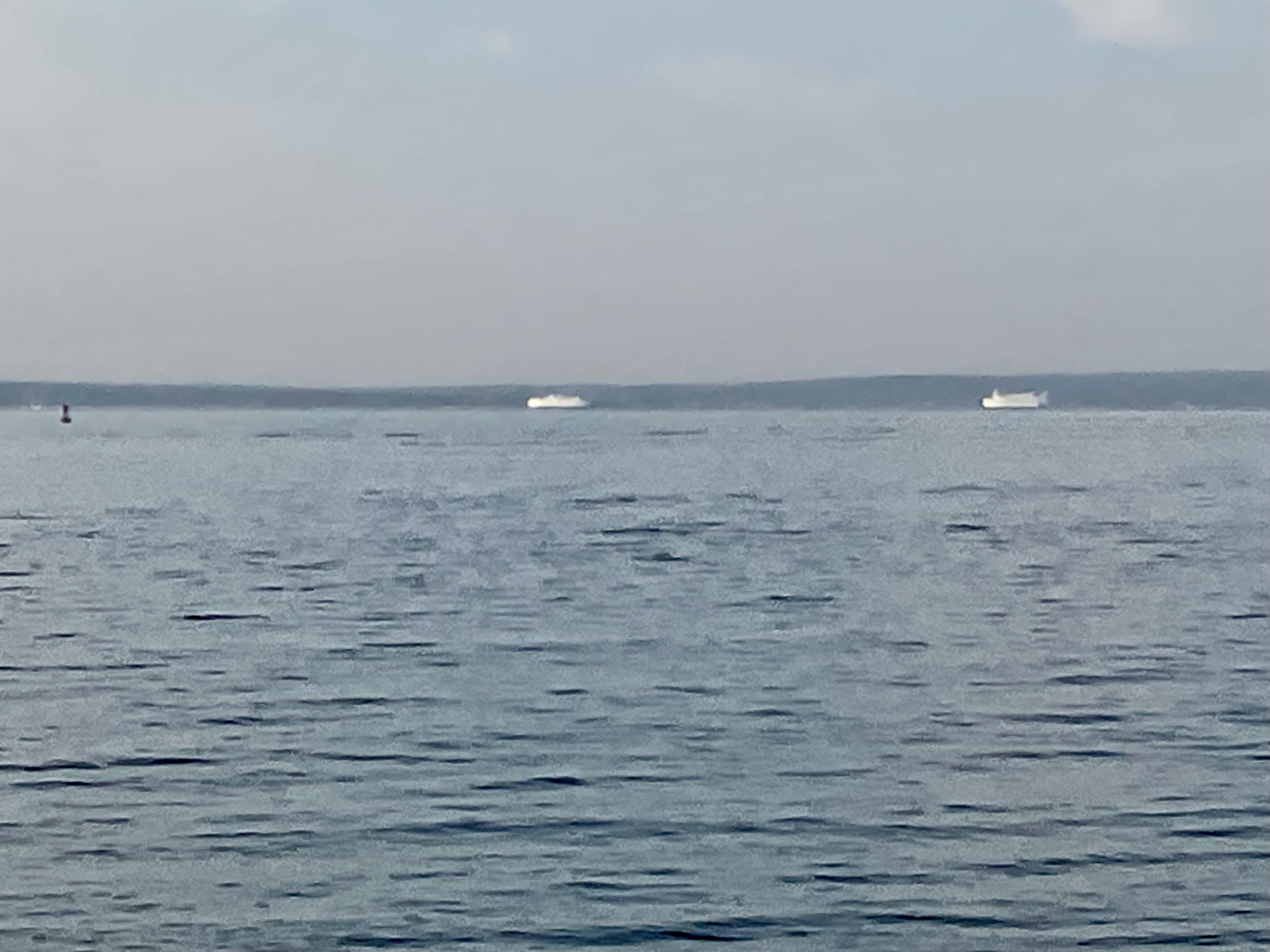
Ferries to and From Vinyard Haven passing while crossing Vineyard Sound.

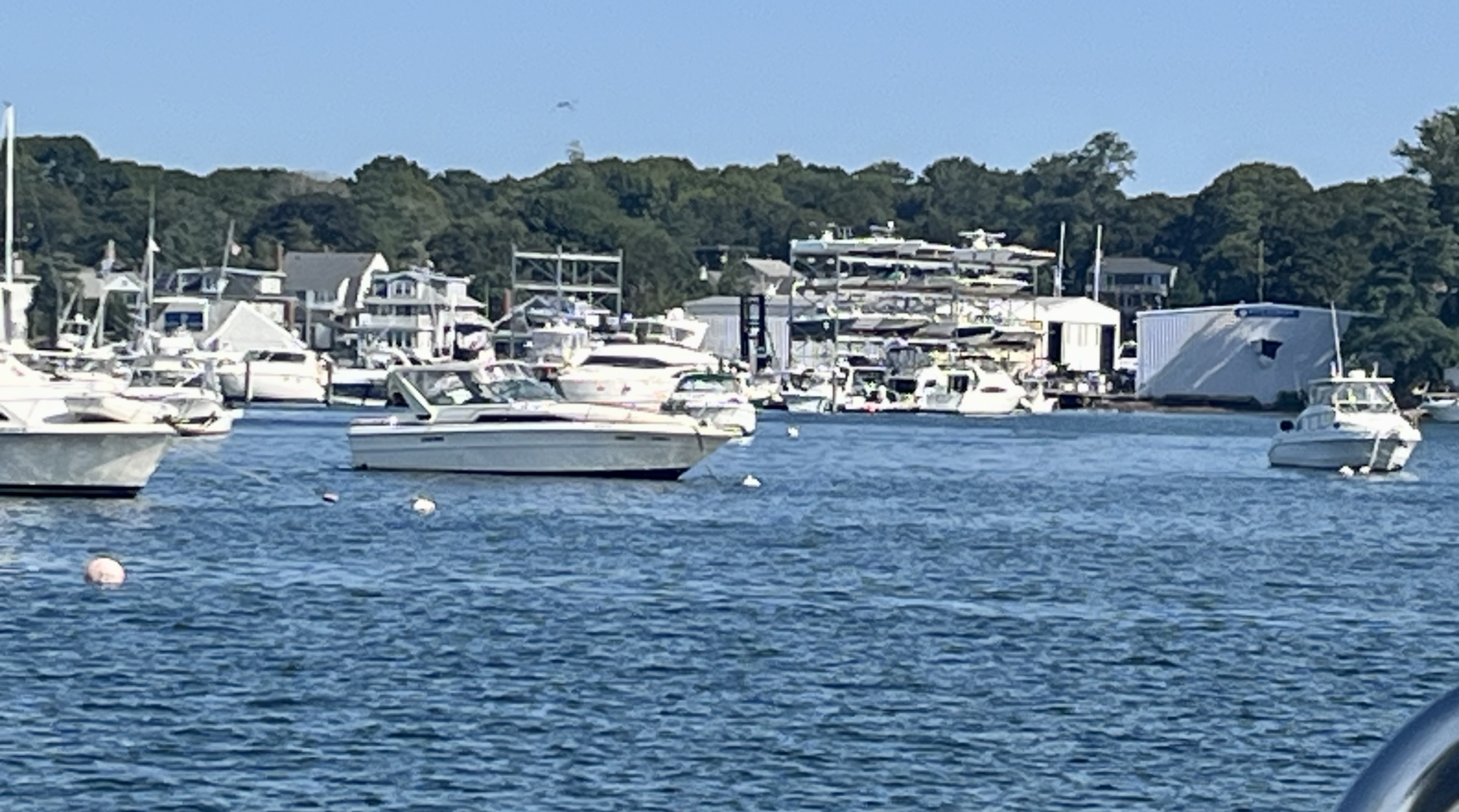
Everyone in this very long skinny Harbor, packed with boats on slips on both sides, passed us when coming and going, very polite about not making wakes.


Sunday, September 3, 2023

Sept 2 — Day 55 — Scituate to Onset — 40

 We took ILENE to the Satuit Boat Club’s dock and put a lot of water in her empty starboard tank. We probably had enough fresh water left in the port tank to get home, but why take chances.

.A beautiful sailing day — most of the way to the Cape Cod Canal. A close starboard reach with ten knots of wind had us making over seven knots under main and small jib. But then the wind got stronger — to 27 knots apparent (subtract our six into the wind) and we actually slowed down. We also were forced to sail close hauled, off course, with a pair of tacks at the end to bring us to the entrance to the Canal. In the Canal the tidal flow and a bit of engine bore us along at up to 9.5 knots though the wind and wakes of big power boats (yes, a holiday weekend) slowed us to about six knots. 

The canal runs from Cape Cod Bay in the NE in this arial view to Buzzards Bay in the SW. Everyone who visits the Cape by car crosses one of the two bridges across the canal highlighted in red. This passage  can be a horrible trial, going with the necessary ebb tide in the afternoon, except on windless days or atypical ones where the wind is not strongly from the Southwest. The tide pushes us SW while the strong SW wind builds up huge seas opposing the tidal flow.With the strong winds today Lene had a lot of anxiety. In the event it was not as bad as last time  and we ducked into Onset (the blue dot)  to escape the wind. The original plan had been Pocasset, to the mooring in the lee of Basset’s Island, (shown in the lower right). Actually the moorings there are under the “as” in the word “Bassetts”but I feared that the protected part would be full this holiday weekend. Plus the starboard turn into Onset, just above the peninsula, got us out of the SW wind a lot sooner.

Our Rocna is connecting us to the bottom (15 feet at high) with 50 feet of snubbed chain. The only other time we have been in Onset was to party on a dock with the other Tartan owners on our Tartan Cruise, our honeymoon cruise in 2002.

At the end of the day we noticed that one of the shackles holding the self tacking mechanism for the small jib had come off. It is replaced from our spare parts. The passage ended up wilder and with more heeling than Lene enjoys. Here is a view of the somewhat crowded mooring field behind us from ILENE, with lots of water around her.


And last, Hog Island Channel in the background, behind us with the escape route into Onset from the peninsula at the right.


Saturday, September 2, 2023

Sept 1 — Day 54 — Nahant to Scituate — 19 NM

 The anchor came up easily this morning; no need for that precautionary trip line. I snagged that line with the boat hook before it could get snagged in the prop. It is coiled and in the dinghy, awaiting a good rain rinse before storage. A large passenger cruise liner passed behind us on the way in to Boston while this was happening.

We sailed with full fails in very light wind through big seas. The combination of these factors shook what wind there was out of the sails as we rolled. Still, at 4-5 knots with not a long passage it was fun, until the wind got even lighter and we slowed to less than  three knots. Then we rolled up the genny, pulled the main to center, to stabilize, and motored the last six miles.

The schooner “Dennis Sullivan” crossed our bow. He had right of way.


We passed The Graves Light

and Minot Ledge Light.

In Scituate we dined at The Mill Wharf, where I first tasted lobster mac and cheese on our first visit here years ago, and thought that they had invented it! Not as wonderful this time as my memory viewed it but it will be today’s lunch. Then back to the clubhouse for showers before returning to ILENE. Three rides on the club’s friendly launch. 

One of the items we purchased was a gallon of distilled water for the batteries. Back aboard, after removing everything from the aft cabin, I poured about a quart of it into the 18 cells of the six batteries that comprise the “house bank”. They were not dangerously low but preventative maintenance. And I noticed a loose connection in the network of oak rods that secure the batteries against calamity if the boat were to roll over. An unlikely occurrence but now battery acid would not be spilled all over the place. A longer screw, the drill and bit were all that was needed. Fixing and maintaining made me feel virtuous.


Friday, September 1, 2023

August 31 — Day 53 — Salem to Nahant — 12 NM

 I had wanted to visit Nahant Harbor during our last visit to Massachusetts, but the wind was wrong that year. Nahant Harbor is a shallow bay, totally open to the waves created by the prevailing southwesterly winds. It is located on the south side of the Nahant Peninsula (perhaps formerly an island). The much larger and more open water north of that peninsula is called Nahant Bay. But today the winds were predicted to be from the north, so this destination seemed perfect. 

The only problem was it’s nearness to Salem — too short a ride. And we spent the morning leisurely doing paperwork during which the winds were strong. I had contemplated putting in a reef but by the time we left at 12:30, the wind had moderated. We sailed with main and jib, gently, for two hours at up to six knots. 

We are the blue dot on this satellite view. We came from Salem, shown at the top, and abound Marblehead. Boston is in the SW, from us.

The cruising guide said we should obtain the harbormaster’s permission before anchoring and to anchor outside the mooring fields. It was tough to reach the harbor master. The listed phone number was wrong. The municipal number had nine extensions, none being the harbor master. I pressed one and was switched to public works, who said the harbor master was not in her department but she knew his number and gave it to me. Permission was freely and cheerfully granted, with advice that the bottom had good holding, possibly too good with abandoned lobster traps and cables on the bottom. So I rigged a trip line from the crown of the anchor to a float on the surface. If it gets caught, the trip line will permit the anchor to be pulled up from a different angle. 

We elected the most eastern of the three coves, which had only one moored boat, one empty mooring and lots of room. We are in 13 feet of later at low, plus ten more feet at high, with 70 feet of snubbed chain. This was our second drop here. On the first, after we drifted back on the anchor, which did not drag, we were too close to the rocky shore.

There is a dock over by where most of the boats were but we did not go ashore.

We were close to Boston, with a nice sunset view. The chart shows that Logan Airport and Revere are between ILENE and the city, but they are low agains the skyline.


And like the carved stone lions Patience and Fortitude guard the New York Public library, our own brace of cats guard ILENE.